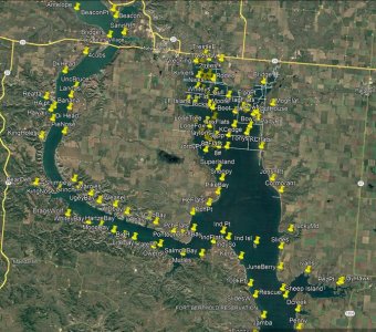
I have gone through and added the named locations for western Sakakawea. I created the waypoints on Google Earth, then converted that file via HumminbirdPC. I did this for myself and some fishing buddies, so I have also added a few named spots that we made up for ourselves.

This is what it looks like on Google Earth ^

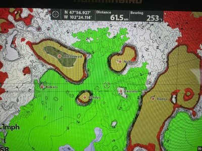
What it looks like on your Humminbird ^
I have also created trails for where some of the sunken roads are/were.
To use: Download this file onto your pc then run it through the HumminbirdPC program:
https://youtu.be/ORJl_bMqG5k?t=157
Then insert the card into your head unit that you primarily use for mapping. It will ask you if you want to upload the waypoints, say yes. The named waypoints will upload as a red cross. The trails will upload as dots, and if you want them to show up as solid lines (like in the pic) you will have to change each of those trails to solid lines on your head unit.
File: https://www.dropbox.com/s/wf9t2575wjurcix/WestSak.gpx?dl=0

This is what it looks like on Google Earth ^

What it looks like on your Humminbird ^
I have also created trails for where some of the sunken roads are/were.
To use: Download this file onto your pc then run it through the HumminbirdPC program:
https://youtu.be/ORJl_bMqG5k?t=157
Then insert the card into your head unit that you primarily use for mapping. It will ask you if you want to upload the waypoints, say yes. The named waypoints will upload as a red cross. The trails will upload as dots, and if you want them to show up as solid lines (like in the pic) you will have to change each of those trails to solid lines on your head unit.
File: https://www.dropbox.com/s/wf9t2575wjurcix/WestSak.gpx?dl=0

